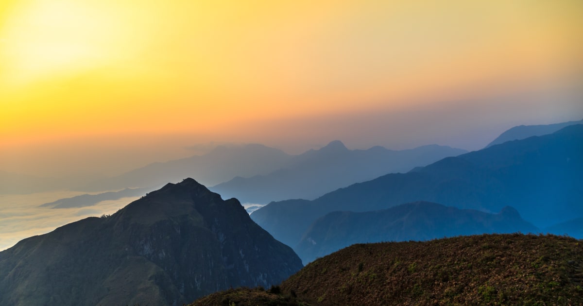
Ky Quan San rises to about 3,046 m in the Hoàng Liên Sơn range and forms the natural border between Lào Cai and Lai Châu provinces. It is usually listed as Vietnam's fourth-highest peak, after Fansipan, Pu Si Lung and Pu Ta Leng, and it is one of the most famous cloud-hunting spots in northern Vietnam, wrapped in cloud for much of the year.
For years climbers knew it as Bạch Mộc Lương Tử, a name that came from confusing it with the nearby Bạch Mộc Lương peak in China. Around 2017-2018, local authorities in Bát Xát restored a Vietnamese name, Ky Quan San, taken from the village at the foot of the mountain - in the Hmông language it means a small village on the mountainside.
A Trek of Constantly Changing Landscapes
Many trekkers call Ky Quan San one of the most beautiful treks in the northwest. The route passes terraced rice fields, streams, bamboo forest, moss forest, cardamom groves, rhododendrons, primeval forest, open grassland and sheer rock faces, including the narrow "dinosaur spine" ridge. Along the way there are views of other peaks in the Hoàng Liên Sơn range, and the high camp at Núi Muối is known for sunrises, sunsets, cloud seas and star-filled skies.